Engineering reports are critical to daily operations and regulatory compliance but have long been a source of frustration for those responsible for writing them. Typically, civil engineers must gather data from various sources before they can conduct a thorough analysis, create structural designs, and report their findings.
However, by using a Geographic Information System (GIS), engineers can work faster with up-to-date spatial data and maps. A GIS can capture, store, and present geographic data through visualisation, giving real-time insights into the environment, land use, and infrastructure. It can also provide valuable information on environmental factors that are critical to your projects.
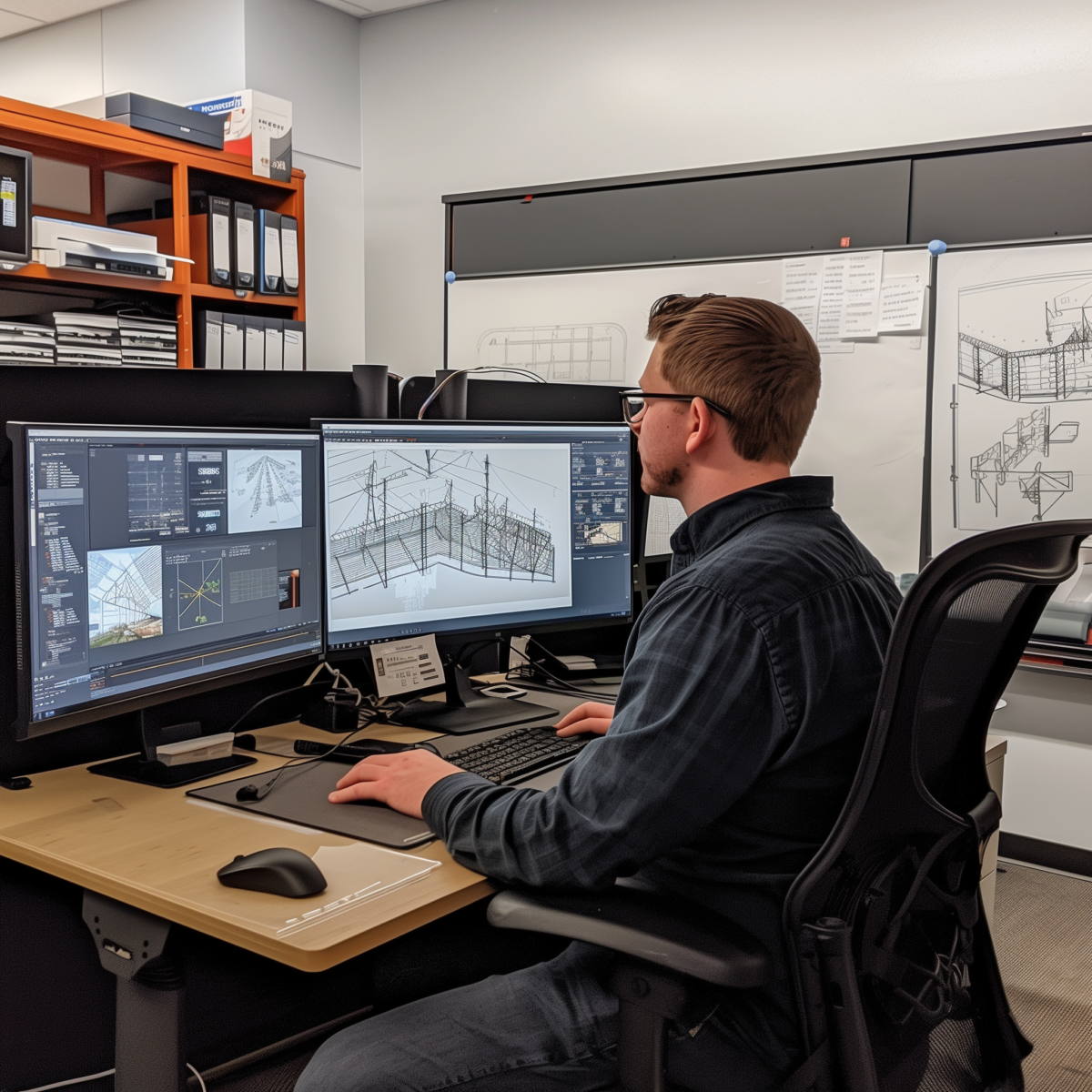
At 3 Dot Digital, we’ve taken it one step further. We’ve designed a smart, AI-powered reporting software, Citation, that pulls in GIS data to create comprehensive visuals and designs and generate reports quickly for you.
With accurate and live data, you can identify trends, spot problems early, and apply solutions more effectively. As a result, engineers and project teams get a centralised cloud solution that’s a one-stop hub for all their reporting work.
Incorporating GIS data in engineering reports can be a cumbersome process that feels more like a hack than a viable solution.
1. Data export and import: Engineers would first export data from GIS software in various formats, to be able to import it into report writing tools or copy and paste the data into a Word document, which is an inefficient way of doing things.
2. Data silos: To compound the problem further, data is often held in separate systems. It’s a struggle to pull together all relevant data to get a unified view, which means key insights are often buried in data silos.
3. Manual mapping and annotation: Drawing maps and adding annotations may not be automated. Engineers have to painstakingly draw and label maps, sometimes switching between different software. If a visual file is incorrectly drawn, then engineers have to redraw the whole thing, eating up hours of time.
4. Limited data interoperability: The lack of seamless compatibility between GIS software and report-writing tools spells constant headaches. Data loss, distortion, and reformatting issues are typical, forcing engineers to double-check their work at every stage.
Citation pulls data from various online sources, including ESRI GIS, to create an automated data collection process. You no longer need to manually gather data, a repetitive task that takes up too much time. Instead, Citation can pre-fill your report with accurate, up-to-date geographic information as needed. The accuracy of GIS data also ensures that reports are based on reliable, real-time information.
With GIS integration, Citation provides real-time mapping and visualisation of the project site. Engineers and project managers can view detailed maps that show environmental conditions and project progress at any given moment. This allows for more informed decision-making, as you can see the impact of your build on the surrounding environment. For example, if a project is being built near a water source, it can provide more information, helping you generate comprehensive reports that account for the risks.
One of the most significant benefits of combining GIS with Citation’s AI is its impact on risk management. Construction projects are often subject to unforeseen risks, such as changes in weather, soil instability, or environmental hazards. By integrating GIS data, the cloud solution helps teams monitor these risks in real-time and make adjustments to project plans accordingly.
GIS mapping enables project managers to identify potential problem areas before they become significant issues. For instance, if a certain section of land is prone to erosion, you will be able to spot this early and take preventative actions. By incorporating this information into engineering reports, all stakeholders are aware of potential risks and can plan accordingly.
GIS data, when combined with Citation’s smart reporting AI, facilitates collaboration between different teams and stakeholders. Construction projects often involve various specialists, such as environmental scientists, architects, and civil engineers, who need to work together.
A cloud solution such as Citation gives everyone access to the same real-time GIS data and reports, promoting transparency and collaboration. This shared access ensures that everyone is on the same page, with real-time information on site conditions, project progress, and potential risks. As a result, teams can work more cohesively and better collective decisions
Construction projects are subject to strict regulatory standards, particularly when it comes to environmental impact and safety. Citation’s GIS integration provides an overview of the impact of your engineering designs and whether they are meeting industry codes.
Furthermore, Citation comes with a useful feature that can automatically check whether your project is meeting regulations and engineering codes. All you have to do is provide it with a legislative document, and it will cross-reference your current plan against the latest standards. This not only helps companies avoid penalties but also contributes to the sustainability and responsible management of construction projects.
Combining the power of GIS and AI for report writing will change the way you manage your reports. With features like data integration, customisable dashboards, and automated reporting, Citation makes it easy to manage, analyse, and create up-to-date reports to guide your teams towards making the right decisions.
If you’re interested in seeing Citation in action, please reach out to us, and we’d be happy to show you a demo of Citation’s AI-powered solution to transform your report writing process.